
Heaton topographic map
Click on the map to display elevation.
Heaton
Heaton is a populated place situated in Pinal County, Arizona, United States. It has an estimated elevation of 1,197 feet (365 m) above sea level.
About this map
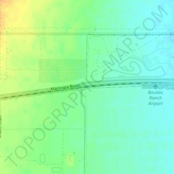
Name: Heaton topographic map, elevation, terrain.
Location: Heaton, Maricopa, Pinal County, Arizona, United States (33.05894 -112.15459 33.09894 -112.11459)
Average elevation: 367 m
Minimum elevation: 344 m
Maximum elevation: 401 m