
Parnell topographic map
Interactive map
Click on the map to display elevation.
About this map
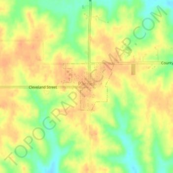
Name: Parnell topographic map, elevation, terrain.
Location: Parnell, Iowa County, Iowa, United States (41.57938 -92.00978 41.58669 -91.99904)
Average elevation: 253 m
Minimum elevation: 230 m
Maximum elevation: 266 m