
Las Canteras topographic map
Interactive map
Click on the map to display elevation.
About this map
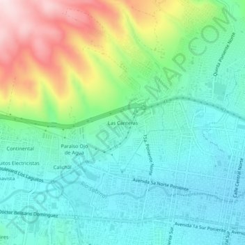
Name: Las Canteras topographic map, elevation, terrain.
Location: Las Canteras, Tuxtla Gutiérrez, Chiapas, 29030, México (16.75035 -93.15435 16.79035 -93.11435)
Average elevation: 645 m
Minimum elevation: 520 m
Maximum elevation: 963 m