
Kindred topographic map
Interactive map
Click on the map to display elevation.
About this map
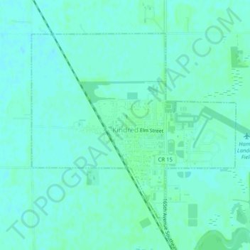
Name: Kindred topographic map, elevation, terrain.
Location: Kindred, Cass County, North Dakota, United States (46.63907 -97.03181 46.65899 -96.99964)
Average elevation: 288 m
Minimum elevation: 285 m
Maximum elevation: 291 m