
Thank you for supporting this site ❤️
Make a donation
Make a donation
Snowdonia topographic map
Click on the map to display elevation.
Thank you for supporting this site ❤️
Make a donation
Make a donation
About this map
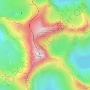
Name: Snowdonia topographic map, elevation, terrain.
Location: Snowdonia, Gwynedd, Wales, LL55 4UL, United Kingdom (53.07118 -4.07422 53.07128 -4.07412)
Average elevation: 700 m
Minimum elevation: 419 m
Maximum elevation: 1,061 m
Thank you for supporting this site ❤️
Make a donation
Make a donation