
Thank you for supporting this site ❤️
Make a donation
Make a donation
Bostic topographic map
Click on the map to display elevation.
Thank you for supporting this site ❤️
Make a donation
Make a donation
About this map
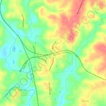
Name: Bostic topographic map, elevation, terrain.
Location: Bostic, Rutherford County, North Carolina, United States (35.34262 -81.85566 35.38262 -81.81566)
Average elevation: 276 m
Minimum elevation: 240 m
Maximum elevation: 317 m
Thank you for supporting this site ❤️
Make a donation
Make a donation