
Thank you for supporting this site ❤️
Make a donation
Make a donation
Hamasa topographic map
Click on the map to display elevation.
Thank you for supporting this site ❤️
Make a donation
Make a donation
About this map
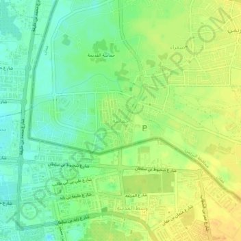
Name: Hamasa topographic map, elevation, terrain.
Location: Hamasa, Al Buraymi Governorate, Oman (24.21774 55.74962 24.25774 55.78962)
Average elevation: 290 m
Minimum elevation: 275 m
Maximum elevation: 305 m
Thank you for supporting this site ❤️
Make a donation
Make a donation