
Forest Hill topographic map
Interactive map
Click on the map to display elevation.
About this map
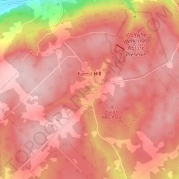
Name: Forest Hill topographic map, elevation, terrain.
Average elevation: 184 m
Minimum elevation: 17 m
Maximum elevation: 237 m
Other topographic maps
Click on a map to view its topography, its elevation and its terrain.
Annapolis Valley
Canada > Nova Scotia > Municipality of the County of Kings > Auburn
Average elevation: 77 m