
Bisie topographic map
Interactive map
Click on the map to display elevation.
About this map
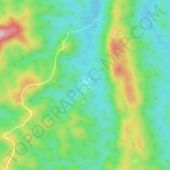
Name: Bisie topographic map, elevation, terrain.
Location: Bisie, Walikale, North Kivu, Democratic Republic of the Congo (-1.07043 27.71691 -1.03043 27.75691)
Average elevation: 729 m
Minimum elevation: 631 m
Maximum elevation: 929 m