
Thank you for supporting this site ❤️
Make a donation
Make a donation
Nacube topographic map
Click on the map to display elevation.
Thank you for supporting this site ❤️
Make a donation
Make a donation
About this map
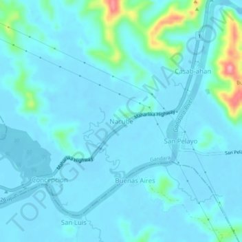
Name: Nacube topographic map, elevation, terrain.
Location: Nacube, Gandara, Samar, Eastern Visayas, 6706, Philippines (11.97476 124.75234 12.01476 124.79234)
Average elevation: 14 m
Minimum elevation: -6 m
Maximum elevation: 125 m
Thank you for supporting this site ❤️
Make a donation
Make a donation