
Geneva topographic map
Click on the map to display elevation.
About this map
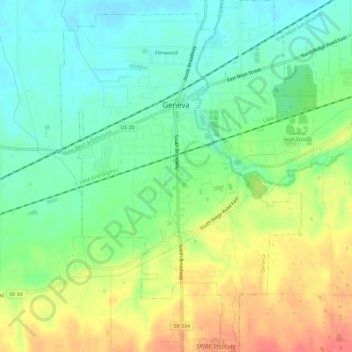
Name: Geneva topographic map, elevation, terrain.
Location: Geneva, Ashtabula County, Ohio, 44041, United States (41.77945 -80.96701 41.81818 -80.92473)
Average elevation: 213 m
Minimum elevation: 191 m
Maximum elevation: 243 m
Other topographic maps
Click on a map to view its topography, its elevation and its terrain.