
Thank you for supporting this site ❤️
Make a donation
Make a donation
Damortis topographic map
Click on the map to display elevation.
Thank you for supporting this site ❤️
Make a donation
Make a donation
About this map
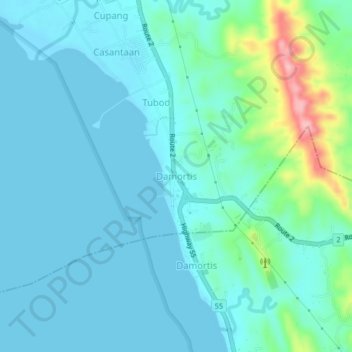
Name: Damortis topographic map, elevation, terrain.
Location: Damortis, Santo Tomas, La Union, Ilocos Region, Philippines (16.22250 120.38489 16.26250 120.42489)
Average elevation: 25 m
Minimum elevation: -1 m
Maximum elevation: 154 m
Thank you for supporting this site ❤️
Make a donation
Make a donation