
Cacawayan topographic map
Interactive map
Click on the map to display elevation.
About this map
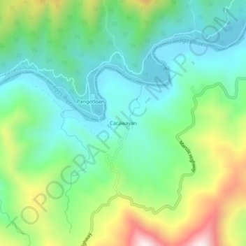
Name: Cacawayan topographic map, elevation, terrain.
Location: Cacawayan, Infanta, Calabarzon, Philippines (14.66524 121.53602 14.70524 121.57602)
Average elevation: 232 m
Minimum elevation: 24 m
Maximum elevation: 704 m
Other topographic maps
Click on a map to view its topography, its elevation and its terrain.