
Thank you for supporting this site ❤️
Make a donation
Make a donation
Franconia topographic map
Click on the map to display elevation.
Thank you for supporting this site ❤️
Make a donation
Make a donation
About this map
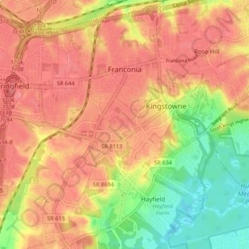
Name: Franconia topographic map, elevation, terrain.
Location: Franconia, Fairfax County, Virginia, United States (38.73944 -77.18505 38.79831 -77.12005)
Average elevation: 54 m
Minimum elevation: 4 m
Maximum elevation: 85 m
Thank you for supporting this site ❤️
Make a donation
Make a donation