
Asahi topographic map
Interactive map
Click on the map to display elevation.
About this map
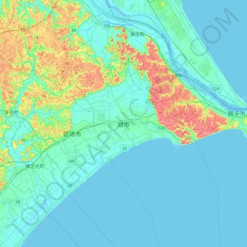
Name: Asahi topographic map, elevation, terrain.
Location: Asahi, Préfecture de Chiba, 289-2505, Japon (35.56041 140.48645 35.88041 140.80645)
Average elevation: 11 m
Minimum elevation: -3 m
Maximum elevation: 62 m
Other topographic maps
Click on a map to view its topography, its elevation and its terrain.