
Town of Dryden topographic map
Interactive map
Click on the map to display elevation.
About this map
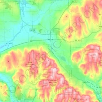
Name: Town of Dryden topographic map, elevation, terrain.
Location: Town of Dryden, Tompkins County, New York, United States (42.39623 -76.45407 42.55049 -76.25400)
Average elevation: 430 m
Minimum elevation: 302 m
Maximum elevation: 619 m