
De Panne topographic map
Interactive map
Click on the map to display elevation.
About this map
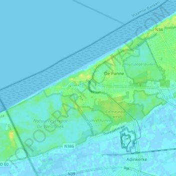
Name: De Panne topographic map, elevation, terrain.
Location: De Panne, Veurne, West Flanders, Flanders, 8660, Belgium (51.07593 2.54165 51.11335 2.61769)
Average elevation: 3 m
Minimum elevation: -2 m
Maximum elevation: 18 m