
Kirkjufell topographic map
Interactive map
Click on the map to display elevation.
About this map
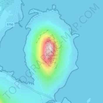
Name: Kirkjufell topographic map, elevation, terrain.
Location: Kirkjufell, Grundarfjarðarbær, Western Region, 350, Iceland (64.93990 -23.30753 64.94000 -23.30743)
Average elevation: 34 m
Minimum elevation: -3 m
Maximum elevation: 459 m