
Thank you for supporting this site ❤️
Make a donation
Make a donation
Kaiti topographic map
Click on the map to display elevation.
Thank you for supporting this site ❤️
Make a donation
Make a donation
About this map
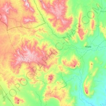
Name: Kaiti topographic map, elevation, terrain.
Location: Kaiti, Makueni, East Kenya, Kenya (-1.88491 37.28870 -1.68983 37.62892)
Average elevation: 1,447 m
Minimum elevation: 1,055 m
Maximum elevation: 2,056 m
Thank you for supporting this site ❤️
Make a donation
Make a donation