
Centerton topographic map
Click on the map to display elevation.
About this map
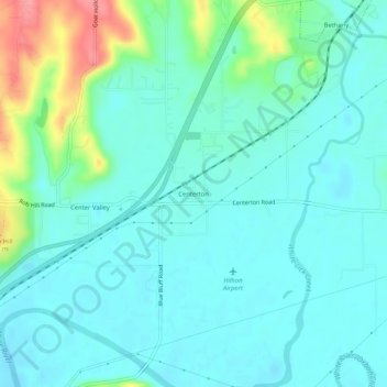
Name: Centerton topographic map, elevation, terrain.
Location: Centerton, Morgan County, Indiana, 46111, United States (39.49505 -86.41499 39.53505 -86.37499)
Average elevation: 201 m
Minimum elevation: 181 m
Maximum elevation: 273 m