
Thank you for supporting this site ❤️
Make a donation
Make a donation
Caln Township topographic map
Click on the map to display elevation.
Thank you for supporting this site ❤️
Make a donation
Make a donation
About this map
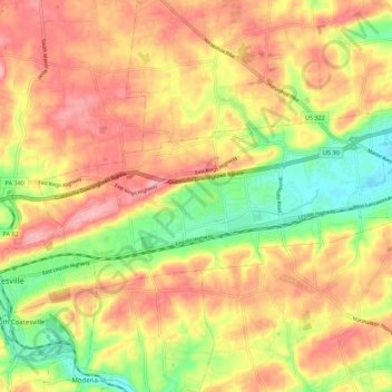
Name: Caln Township topographic map, elevation, terrain.
Location: Caln Township, Chester County, Pennsylvania, United States (39.98129 -75.81424 40.02122 -75.70405)
Average elevation: 145 m
Minimum elevation: 70 m
Maximum elevation: 204 m
Thank you for supporting this site ❤️
Make a donation
Make a donation
Other topographic maps
Click on a map to view its topography, its elevation and its terrain.