
Thank you for supporting this site ❤️
Make a donation
Make a donation
Glyder Fawr topographic map
Click on the map to display elevation.
Thank you for supporting this site ❤️
Make a donation
Make a donation
About this map
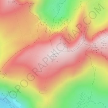
Name: Glyder Fawr topographic map, elevation, terrain.
Location: Glyder Fawr, Gwynedd, Wales, LL55 4NY, United Kingdom (53.10144 -4.02917 53.10154 -4.02907)
Average elevation: 671 m
Minimum elevation: 197 m
Maximum elevation: 989 m
Thank you for supporting this site ❤️
Make a donation
Make a donation