
Thank you for supporting this site ❤️
Make a donation
Make a donation
Pleasant Ridge topographic map
Click on the map to display elevation.
Thank you for supporting this site ❤️
Make a donation
Make a donation
About this map
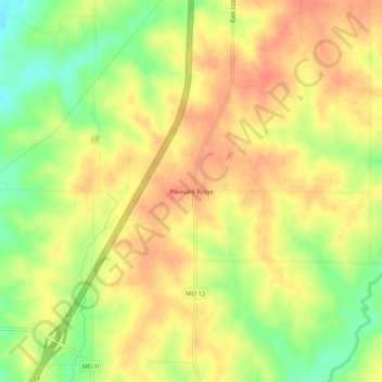
Name: Pleasant Ridge topographic map, elevation, terrain.
Location: Pleasant Ridge, Harrison County, Missouri, United States (40.15056 -94.03440 40.19056 -93.99440)
Average elevation: 284 m
Minimum elevation: 252 m
Maximum elevation: 304 m
Thank you for supporting this site ❤️
Make a donation
Make a donation
Other topographic maps
Click on a map to view its topography, its elevation and its terrain.