
South Windsor topographic map
Interactive map
Click on the map to display elevation.
About this map
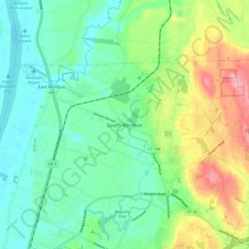
Name: South Windsor topographic map, elevation, terrain.
Location: South Windsor, Hartford County, Connecticut, 06074, USA (41.80899 -72.61176 41.88899 -72.53176)
Average elevation: 40 m
Minimum elevation: -1 m
Maximum elevation: 128 m