
Ajegunle topographic map
Interactive map
Click on the map to display elevation.
About this map
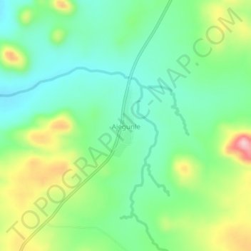
Name: Ajegunle topographic map, elevation, terrain.
Location: Ajegunle, Ifelodun, Kwara State, Nigeria (8.26862 5.19665 8.30862 5.23665)
Average elevation: 351 m
Minimum elevation: 283 m
Maximum elevation: 487 m