
Thank you for supporting this site ❤️
Make a donation
Make a donation
Alice topographic map
Click on the map to display elevation.
Thank you for supporting this site ❤️
Make a donation
Make a donation
About this map
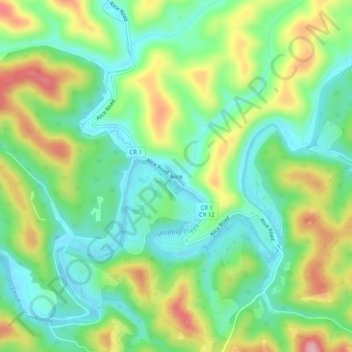
Name: Alice topographic map, elevation, terrain.
Location: Alice, Gilmer County, West Virginia, 26432, United States (38.97759 -80.83594 39.01759 -80.79594)
Average elevation: 281 m
Minimum elevation: 213 m
Maximum elevation: 403 m
Thank you for supporting this site ❤️
Make a donation
Make a donation
Other topographic maps
Click on a map to view its topography, its elevation and its terrain.