
Thank you for supporting this site ❤️
Make a donation
Make a donation
Hartland topographic map
Click on the map to display elevation.
Thank you for supporting this site ❤️
Make a donation
Make a donation
About this map
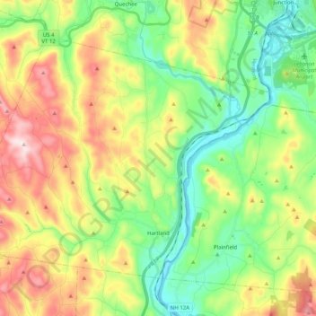
Name: Hartland topographic map, elevation, terrain.
Location: Hartland, Windsor County, Vermont, United States (43.51978 -72.52899 43.63106 -72.32794)
Average elevation: 261 m
Minimum elevation: 87 m
Maximum elevation: 545 m
Thank you for supporting this site ❤️
Make a donation
Make a donation