
Thank you for supporting this site ❤️
Make a donation
Make a donation
Shahriyar topographic map
Click on the map to display elevation.
Thank you for supporting this site ❤️
Make a donation
Make a donation
About this map
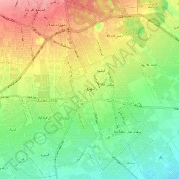
Name: Shahriyar topographic map, elevation, terrain.
Location: Shahriyar, Shahriar Central District, Shahriar County, Iran (35.61669 50.98492 35.69954 51.08869)
Average elevation: 1,151 m
Minimum elevation: 1,110 m
Maximum elevation: 1,206 m
Thank you for supporting this site ❤️
Make a donation
Make a donation