
Lewiston topographic map
Interactive map
Click on the map to display elevation.
About this map
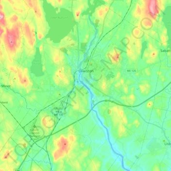
Name: Lewiston topographic map, elevation, terrain.
Location: Lewiston, Androscoggin County, Maine, United States (44.00508 -70.22422 44.16875 -70.11571)
Average elevation: 86 m
Minimum elevation: 30 m
Maximum elevation: 219 m