
Oberhaching topographic map
Interactive map
Click on the map to display elevation.
About this map
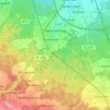
Name: Oberhaching topographic map, elevation, terrain.
Location: Oberhaching, Landkreis München, Bavaria, Germany (47.96130 11.53764 48.05112 11.62925)
Average elevation: 607 m
Minimum elevation: 556 m
Maximum elevation: 685 m