
Bajstrup topographic map
Interactive map
Click on the map to display elevation.
About this map
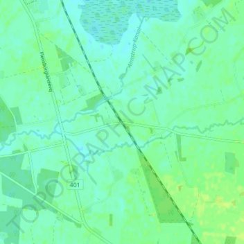
Name: Bajstrup topographic map, elevation, terrain.
Location: Bajstrup, Kommune Apenrade, Region Süddänemark, 6360, Dänemark (54.88533 9.25323 54.92533 9.29323)
Average elevation: 24 m
Minimum elevation: 19 m
Maximum elevation: 30 m