
Rheine topographic map
Interactive map
Click on the map to display elevation.
About this map
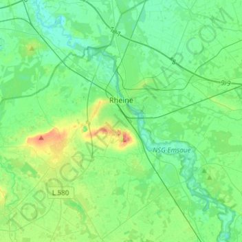
Name: Rheine topographic map, elevation, terrain.
Location: Rheine, Kreis Steinfurt, North Rhine-Westphalia, Germany (52.19188 7.36551 52.34192 7.58610)
Average elevation: 44 m
Minimum elevation: 26 m
Maximum elevation: 98 m