
Dalaguete topographic map
Interactive map
Click on the map to display elevation.
About this map
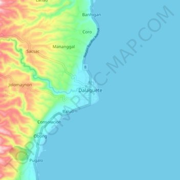
Name: Dalaguete topographic map, elevation, terrain.
Location: Dalaguete, Cebu, Central Visayas, 6022, Philippines (9.72191 123.49341 9.80191 123.57341)
Average elevation: 70 m
Minimum elevation: 0 m
Maximum elevation: 397 m
Other topographic maps
Click on a map to view its topography, its elevation and its terrain.