
Thank you for supporting this site ❤️
Make a donation
Make a donation
Elmont topographic map
Click on the map to display elevation.
Thank you for supporting this site ❤️
Make a donation
Make a donation
About this map
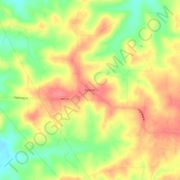
Name: Elmont topographic map, elevation, terrain.
Location: Elmont, Franklin County, Missouri, United States (38.21560 -91.26265 38.25560 -91.22265)
Average elevation: 269 m
Minimum elevation: 227 m
Maximum elevation: 302 m
Thank you for supporting this site ❤️
Make a donation
Make a donation
Other topographic maps
Click on a map to view its topography, its elevation and its terrain.
Thank you for supporting this site ❤️
Make a donation
Make a donation
Thank you for supporting this site ❤️
Make a donation
Make a donation