
Kamuning topographic map
Click on the map to display elevation.
About this map
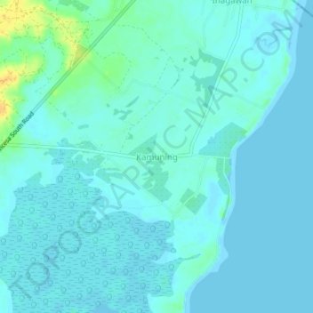
Name: Kamuning topographic map, elevation, terrain.
Location: Kamuning, Puerto Princesa, Palawan, Mimaropa, Philippines (9.50765 118.61552 9.54765 118.65552)
Average elevation: 5 m
Minimum elevation: -2 m
Maximum elevation: 26 m