
Saugeen River topographic map
Interactive map
Click on the map to display elevation.
About this map
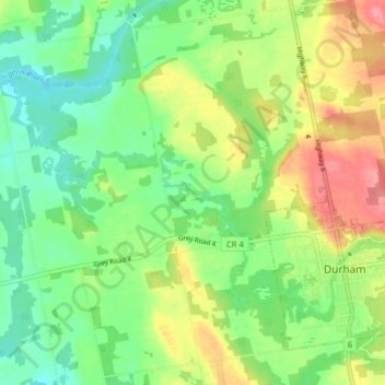
Name: Saugeen River topographic map, elevation, terrain.
Location: Saugeen River, West Grey, Grey County, Ontario, Canada (44.16961 -80.88679 44.20540 -80.80776)
Average elevation: 342 m
Minimum elevation: 307 m
Maximum elevation: 395 m
Other topographic maps
Click on a map to view its topography, its elevation and its terrain.