
Thank you for supporting this site ❤️
Make a donation
Make a donation
Campton topographic map
Click on the map to display elevation.
Thank you for supporting this site ❤️
Make a donation
Make a donation
About this map
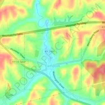
Name: Campton topographic map, elevation, terrain.
Location: Campton, Wolfe County, Kentucky, United States (37.72801 -83.55659 37.74727 -83.53778)
Average elevation: 323 m
Minimum elevation: 287 m
Maximum elevation: 363 m
Thank you for supporting this site ❤️
Make a donation
Make a donation