
Thank you for supporting this site ❤️
Make a donation
Make a donation
Lead Hill topographic map
Click on the map to display elevation.
Thank you for supporting this site ❤️
Make a donation
Make a donation
About this map
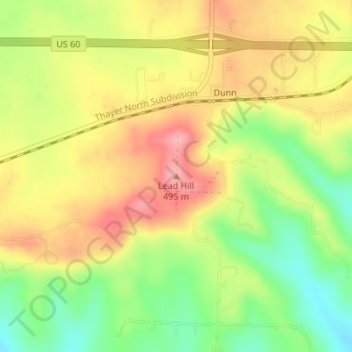
Name: Lead Hill topographic map, elevation, terrain.
Location: Lead Hill, Texas County, Missouri, United States (37.13472 -92.19521 37.13482 -92.19511)
Average elevation: 436 m
Minimum elevation: 372 m
Maximum elevation: 495 m
Thank you for supporting this site ❤️
Make a donation
Make a donation
Other topographic maps
Click on a map to view its topography, its elevation and its terrain.