
Thank you for supporting this site ❤️
Make a donation
Make a donation
Wisil topographic map
Click on the map to display elevation.
Thank you for supporting this site ❤️
Make a donation
Make a donation
About this map
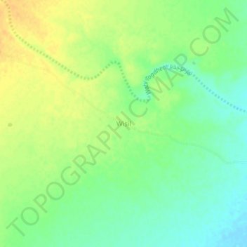
Name: Wisil topographic map, elevation, terrain.
Location: Wisil, Burao District, Togdheer, Somaliland, Somalia (9.52821 45.38082 9.56821 45.42082)
Average elevation: 1,107 m
Minimum elevation: 1,093 m
Maximum elevation: 1,120 m
Thank you for supporting this site ❤️
Make a donation
Make a donation
Other topographic maps
Click on a map to view its topography, its elevation and its terrain.