
Thank you for supporting this site ❤️
Make a donation
Make a donation
Ayudén topographic map
Click on the map to display elevation.
Thank you for supporting this site ❤️
Make a donation
Make a donation
About this map
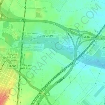
Name: Ayudén topographic map, elevation, terrain.
Location: Ayudén, Pinto, Comunidad de Madrid, 28947, España (40.25959 -3.73895 40.27959 -3.71895)
Average elevation: 613 m
Minimum elevation: 597 m
Maximum elevation: 647 m
Thank you for supporting this site ❤️
Make a donation
Make a donation