
Majuro topographic map
Interactive map
Click on the map to display elevation.
Majuro
At the western end of the atoll, about 50 kilometres (30 mi) from Delap-Uliga-Djarrit (DUD) by road, is the island community of Laura, an expanding residential area with a popular beach. Laura has the highest elevation point on the atoll, estimated at less than 3 metres (10 feet) above sea level. Djarrit is mostly residential.
About this map
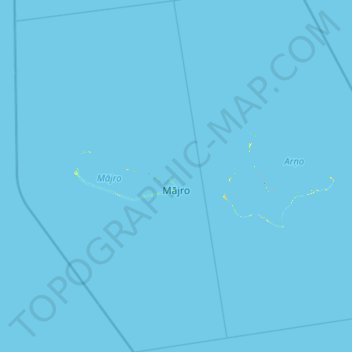
Name: Majuro topographic map, elevation, terrain.
Location: Majuro, Marshall Islands (6.52459 170.81733 7.74430 171.55896)
Average elevation: 0 m
Minimum elevation: 0 m
Maximum elevation: 23 m