
Ugshapungo topographic map
Interactive map
Click on the map to display elevation.
About this map
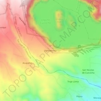
Name: Ugshapungo topographic map, elevation, terrain.
Location: Ugshapungo, Quiroga, Cotacachi, Imbabura, Ecuador (0.27096 -78.38894 0.31096 -78.34894)
Average elevation: 3,122 m
Minimum elevation: 2,888 m
Maximum elevation: 3,366 m