
Red topographic map
Click on the map to display elevation.
About this map
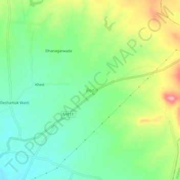
Name: Red topographic map, elevation, terrain.
Location: Red, Shirala, Sangli, Maharashtra, 415408, India (16.97765 74.12909 17.01765 74.16909)
Average elevation: 638 m
Minimum elevation: 586 m
Maximum elevation: 731 m