
Mafoluku Area topographic map
Interactive map
Click on the map to display elevation.
About this map
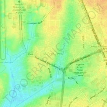
Name: Mafoluku Area topographic map, elevation, terrain.
Location: Mafoluku Area, Oshodi/Isolo, Lagos State, 100271, Nigeria (6.53443 3.31372 6.57443 3.35372)
Average elevation: 19 m
Minimum elevation: 1 m
Maximum elevation: 34 m