
Thank you for supporting this site ❤️
Make a donation
Make a donation
San Rafael topographic map
Click on the map to display elevation.
Thank you for supporting this site ❤️
Make a donation
Make a donation
About this map
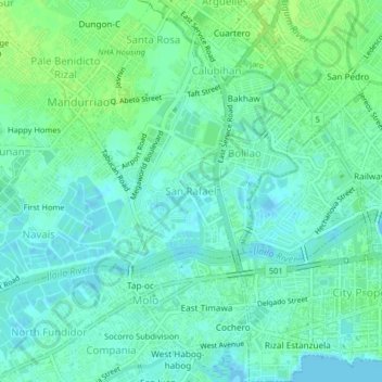
Name: San Rafael topographic map, elevation, terrain.
Location: San Rafael, Iloilo City, Western Visayas, 5000, Philippines (10.68849 122.52890 10.72849 122.56890)
Average elevation: 5 m
Minimum elevation: -4 m
Maximum elevation: 12 m
Thank you for supporting this site ❤️
Make a donation
Make a donation
Other topographic maps
Click on a map to view its topography, its elevation and its terrain.