
南开区 topographic map
Interactive map
Click on the map to display elevation.
About this map
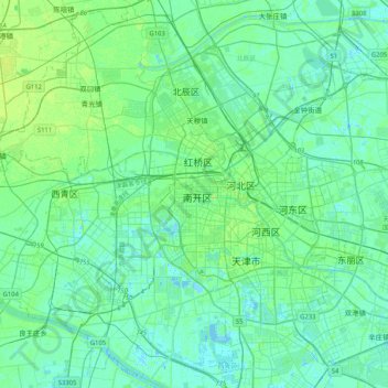
Name: 南开区 topographic map, elevation, terrain.
Location: 南开区, Nankai District, Tianjin, 300084, PRC (38.97912 116.98104 39.29912 117.30104)
Average elevation: 5 m
Minimum elevation: -5 m
Maximum elevation: 21 m