
Thank you for supporting this site ❤️
Make a donation
Make a donation
Hoogstraat topographic map
Click on the map to display elevation.
Thank you for supporting this site ❤️
Make a donation
Make a donation
About this map
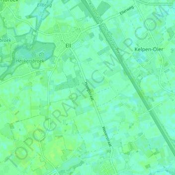
Name: Hoogstraat topographic map, elevation, terrain.
Location: Hoogstraat, Ell, Leudal, Limburg, Nederland, 6011RX, Nederland (51.19012 5.78201 51.23012 5.82201)
Average elevation: 30 m
Minimum elevation: 26 m
Maximum elevation: 34 m
Thank you for supporting this site ❤️
Make a donation
Make a donation