
Thank you for supporting this site ❤️
Make a donation
Make a donation
Waingake topographic map
Click on the map to display elevation.
Thank you for supporting this site ❤️
Make a donation
Make a donation
About this map
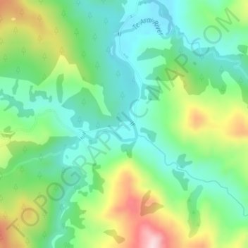
Name: Waingake topographic map, elevation, terrain.
Location: Waingake, Gisborne District, Gisborne, New Zealand (-38.79645 177.78901 -38.77645 177.80901)
Average elevation: 166 m
Minimum elevation: 62 m
Maximum elevation: 378 m
Gisborne District trails, hiking, mountain biking, running and outdoor activities
Thank you for supporting this site ❤️
Make a donation
Make a donation
Other topographic maps
Click on a map to view its topography, its elevation and its terrain.