
Thank you for supporting this site ❤️
Make a donation
Make a donation
Downing topographic map
Click on the map to display elevation.
Thank you for supporting this site ❤️
Make a donation
Make a donation
About this map
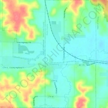
Name: Downing topographic map, elevation, terrain.
Location: Downing, Dunn County, Wisconsin, 54734, United States (45.03159 -92.13643 45.06789 -92.11192)
Average elevation: 316 m
Minimum elevation: 292 m
Maximum elevation: 363 m
Thank you for supporting this site ❤️
Make a donation
Make a donation
Other topographic maps
Click on a map to view its topography, its elevation and its terrain.