
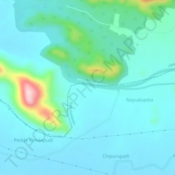
East Godavari topographic map
Interactive map
Click on the map to display elevation.
About this map
Name: East Godavari topographic map, elevation, terrain.
Location: East Godavari, Andhra Pradesh, India (17.21350 81.70260 17.25350 81.74260)
Average elevation: 64 m
Minimum elevation: 19 m
Maximum elevation: 310 m